-70%


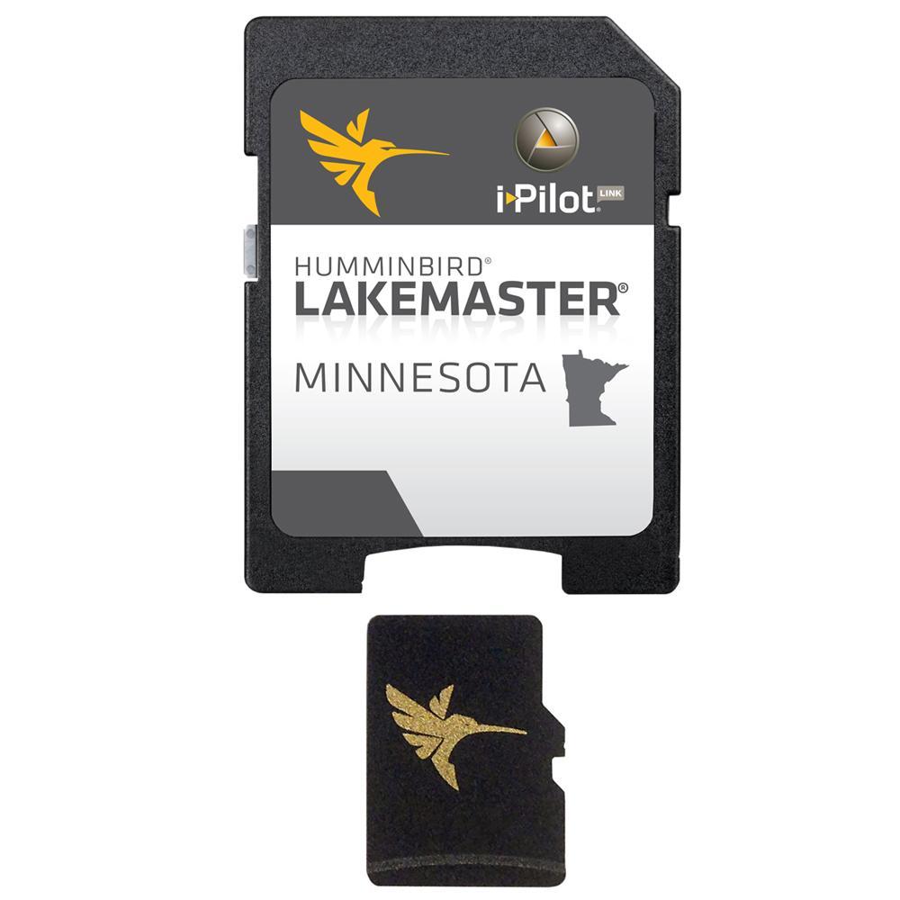
Humminbird LakeMaster Chart – MidAtlantic States – Version 2.0 – MicroSD-SD Supply

$37.48
- Description
- Size Guide
Description
Description
Get the Official Humminbird LakeMaster Chart – MidAtlantic States – Version 2.0 – MicroSD-SD Supply
LakeMaster Chart – MidAtlantic States – Version 2.0 – MicroSD/SD
More Detail. More Accuracy. More Confidence.
Innovative Humminbird® LakeMaster® digital GPS maps combined with groundbreaking Humminbird® Sonar will put you on the fish.
The MidAtlantic States Version 2.0 map card has many standard and high definition lake maps for Delaware, Maryland, North Carolina, South Carolina, Virginia, and West Virginia, along with points of interest on a base map.
Product : HUMMINBIRD LAKEMASTER CHART MID ATLANTIC MICROSD/SD 17′
Manufacturer : HUMMINBIRD
Manufacturer Part No : 600043-3
UPC : 082324049842
Size Guide

| size | chest(in.) | waist(in.) | hips(in.) |
|---|---|---|---|
| XS | 34-36 | 27-29 | 34.5-36.5 |
| S | 36-38 | 29-31 | 36.5-38.5 |
| M | 38-40 | 31-33 | 38.5-40.5 |
| L | 40-42 | 33-36 | 40.5-43.5 |
| XL | 42-45 | 36-40 | 43.5-47.5 |
| XXL | 45-48 | 40-44 | 47.5-51.5 |